Menu

Services Professional Solutions

Comprehensive consultancy and training in structural deformation monitoring, from network design to data processing and quality control.

Trusted by

All consulting and training services are supported by the same computational principles embedded in Epoch-Suite — rigorous adjustment, traceable quality control, and long-term data integrity.

We provide comprehensive consultancy and training across all phases of structural deformation monitoring — from the design of monitoring networks and systems to technical assistance during installation, data processing, and quality control of both observations and results.

We also conduct audits of existing monitoring infrastructures, ensuring data integrity, operational accuracy, and compliance with design specifications. Our methods are adapted to each project's objectives and environment, specializing in geodetic and laser scanning technologies for precise, repeatable measurements.

Engineering Software Development

Engineering Software Development

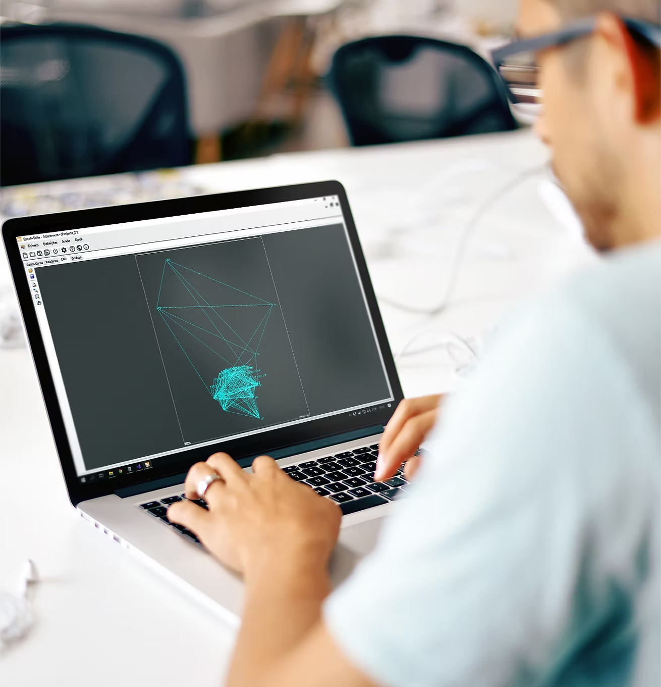
We design and develop custom engineering software for deformation monitoring and geospatial analysis. Our solutions, including Epoch-Suite, unify data adjustment, visualization, and quality control — delivering accuracy, automation, and efficiency for modern engineering workflows. Our software design philosophy follows the robust least-squares and data-snooping concepts documented in our published research, ensuring analytical reliability for deformation analysis.

UAV Surveying

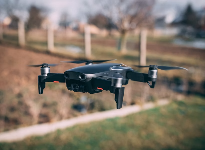
We provide high-resolution UAV surveying services for engineering and geotechnical monitoring. Through advanced drones and photogrammetry, we produce detailed orthophotos, 3D models, and terrain maps — ideal for inaccessible or large-scale sites requiring precise deformation data.

UAV Surveying
Terrestrial Laser Scanning

Terrestrial Laser Scanning

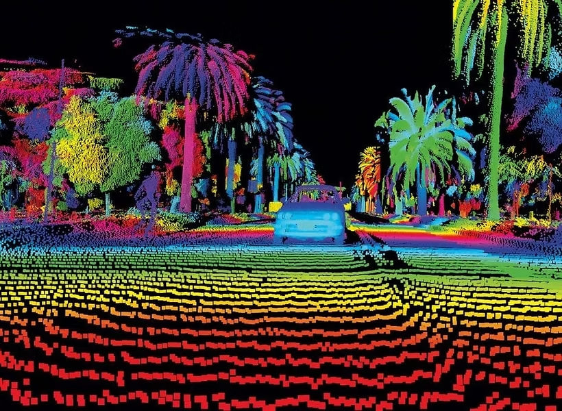
Our terrestrial laser scanning services capture detailed 3D geometry of structures and landscapes. Using state-of-the-art LiDAR systems, we deliver dense, accurate point clouds for deformation analysis, inspection, and digital twin generation.

Dimensional Monitoring

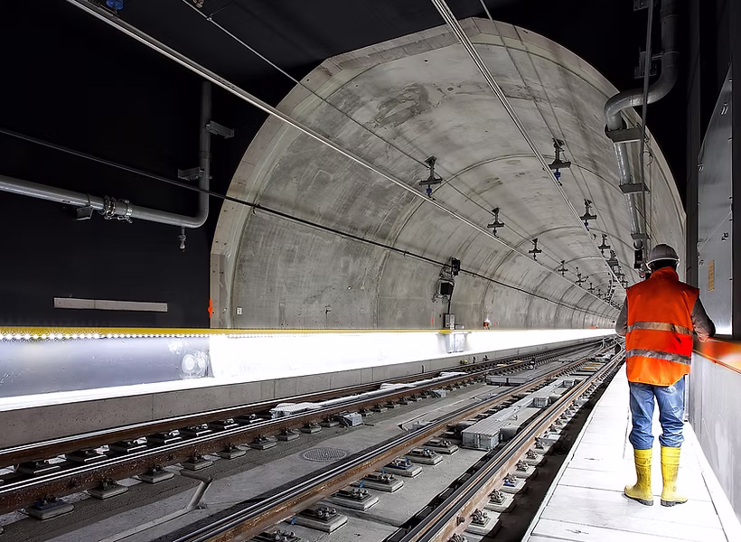
We offer complete dimensional monitoring solutions — from network setup to data interpretation. Combining geodetic, laser scanning, and automated techniques, our integrated approach provides actionable insights that help engineers anticipate risks, optimize design performance, and extend structural lifespan.

Dimensional Monitoring

Partnership Opportunities

EngSolvers offers proven technology, documented methodologies, and established client trust — a unique foundation for partners or acquirers aiming to scale deformation-monitoring expertise globally.

A note to potential partners

We are open to exploring strategic partnerships or technology transfer opportunities with companies that can scale the distribution and support of Epoch-Suite.

If you are interested in collaboration or acquisition discussions, please contact us privately for details.

Get in touch

Frequently Asked Questions

Find answers to common questions about our services

EngSolvers provides consultancy, software development, and training across all phases of structural deformation monitoring. This includes network design, system installation support, data processing, quality control, and auditing of existing monitoring systems.
EngSolvers works with organizations involved in civil, structural, and geotechnical engineering. Its services support monitoring in dams, tunnels, bridges, retaining walls, volcanoes, and dykes, ensuring long-term safety and precision in deformation control.
EngSolvers designs and develops custom engineering software to process and visualize deformation data. Its flagship product, Epoch-Suite, applies robust least-squares adjustment and data-snooping techniques to ensure accuracy in geodetic and geotechnical monitoring.
EngSolvers' UAV surveying services use advanced drones and photogrammetry to generate high-resolution orthophotos, 3D terrain models, and surface maps. These datasets support large-scale inspections, infrastructure monitoring, and volumetric analysis.
Terrestrial Laser Scanning (TLS) captures detailed 3D geometries of structures and landscapes. EngSolvers uses high-precision LiDAR systems to produce dense point clouds that detect millimetric displacements, ideal for deformation studies and digital twin creation.
Dimensional Monitoring involves measuring structural movements with high precision over time. EngSolvers combines geodetic, laser scanning, and automated systems to track displacements, ensuring reliable results for structural integrity and performance assessment.
Yes. EngSolvers offers specialized training courses in UAV surveying, terrestrial laser scanning, and geodetic adjustment. These programs help engineers and surveyors apply advanced monitoring techniques effectively in real-world projects.
Absolutely. EngSolvers performs technical audits of existing deformation monitoring setups, assessing equipment calibration, observation quality, and analytical consistency to enhance data reliability and operational performance.
EngSolvers specializes in laser scanning, geodetic network adjustment, and UAV photogrammetry. These technologies allow the team to deliver high-accuracy deformation assessments, combining traditional surveying with modern automation.
Yes. EngSolvers welcomes collaboration or technology-transfer opportunities with organizations interested in expanding Epoch-Suite or leveraging its monitoring expertise to strengthen their engineering and software portfolios.

CONTACT US